google-site-verification=eqwDp6v4570NQpwD1V9-OmDXFbTQyWDwwwPvX4BwJdQ

TRAVEL

Posted On 21 Mar 2024
Comment: Off
This entry is part 7 of 30 in the series AusMotorcyclist Issue#25

GREAT SOUTHERN

SYDNEY DAY RIDE TO THE SOUTH WORDS/PHOTOS THE BEAR

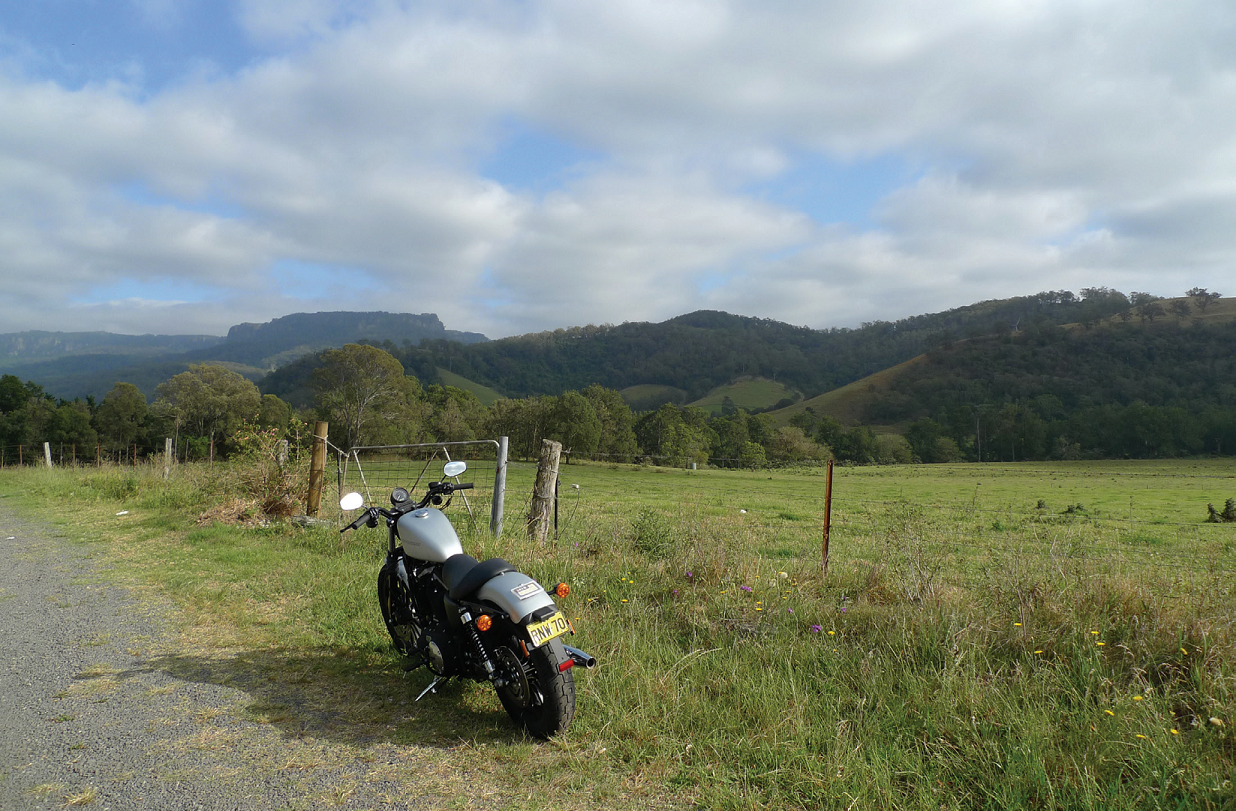
“JUST PAST ALBION PARK RAIL, BEYOND THE URBAN SPRAWL.”

Imagine Sydney for a moment without the Blue Mountains, and the rest of the nearby Great Dividing Range. In my column in MOTOR magazine I once suggested that we should just bulldoze the mountains into the Harbour, thus simultaneously creating a vast parking lot where the water had been, and fl at road access to the rest of the continent.

Fortunately, Nathan Tinkler and Joe Tripodi weren’t reading the magazine at the time and this did not come to pass.

No, seriously, guys, I was kidding…

Nathan, put down that protractor…

Motorcyclists have it pretty good with the mountains just the way they are.

But nowhere do we have it as good as we do in the south. Follow me now as we make the most of this, on a highly enjoyable day ride…

Take the Princes Highway south to Loftus and chuck a lefty through National Park. Beware of tricky corners and tricky cops, not necessarily in that order. If you feel like a dip in the surf, turn off to Garie Beach; it’s the most easily accessible ocean beach in National Park. Make sure you pay the park fee at the entrance station if you’re going to stop here or anywhere else; if you’re just passing through it’s free. Once out of the park, stop at the Bald Hill lookout to admire all the other bikes and have their riders admire yours. If the van is there it might be time for an ice cream?

When you take to the road again, do not be tempted by the turnoff that snakes down into Stanwell Park (that’s another ride), but continue straight ahead for a while. Just past Symbio Wildlife Park, turn left at the roundabout into the old Princes Highway. This is not the equal of the Old Road to the north of Sydney, but then again it is not as infested by bicyclists or policemen, either.

Before long you will reach the lookouts at Bulli Tops; it’s worth stopping for a look at the view. I suggest the second, southerly one, which is smaller and does quite nice coffee and cakes.

Bulli Pass itself is remarkably short considering its reputation, but fun anyway. Watch the last hairpin, where the road widens. It can lull you into a false sense of security.

If you’re hungry you could turn north at the bottom of the pass to Thirroul, which has a number of interesting cafés. If not, carry on south through Bulli township at the bottom and take the left turn into Memorial Drive, which will take you, in the security of a dual carriageway, to the connection with the Princes Motorway at Wollongong University. Note that you will pass Towradgi, where both Wayne Gardner and I went to primary school. Mind you, he was a bit later than I was… You want to turn right when you get to the Princes Motorway, and go north up Mt Ousley Road. Bit of oil and diesel on the road here, so watch it. Keep an eye on the trucks, too.

What is it with people who deface road signs?

At the top edge of the scarp, turn left and then left again to Mt Keira.

You can actually ride to the top of this stone monolith (passable coffee at the kiosk), or you can bypass the spur road that leads there and drop back down to Wollongong instead. This is a terrific bike road, quite narrow but otherwise everything you could wish for. Once you get to the T intersection at the bottom, turn left if you want to go into Wollongong for any reason.

Turn right and make your way back onto the Princes Freeway otherwise.

Head south past the big pagoda which marks the extensive and beautifully landscaped Nan Tien Temple on your left. If you’re interested in taking a look at the temple, you should have turned off the freeway at the exit you’ve just passed to Five Islands Road and then followed the signs up Glastonbury Avenue.

A true and meaningful sign at the top of the Illawarra scarp.

Eventually it is time you left the Princes Highway again anyway. You do this immediately after you cross the Macquarie River, when you turn right into the Illawarra Highway. If you pass Illawarra Regional Airport on your right you’ve gone too far. Mind you, there is a terrific air museum at the airport.

If you’ve got the correct road you will soon find yourself at Albion Park Rail where the highway turns right and you ought to follow it. From here, you are in for one of the most pleasant rides on the NSW coast, all the way up the valley to the foot of Macquarie Pass.

Apart from having an outstanding collection of signs here, the pass is also a terrific ride – just don’t get overconfident, there are some tricky corners including a spectacular left hand hairpin that has caught out more than one rider. Right, Jimmy Barnes? There is also a certain hazard from oncoming cars, trucks – and other bikes. Some riders just don’t know their own capabilities…

It’s not just a steep descent, it’s narrow as well. Perfect for a bike.

At the top of the pass is the Robertson Pie Shop, which has kind of ordinary pies and coffee. Turn left instead opposite the shop and get stuck into the next of our scarp roads: down to Jamberoo. This is a relatively empty road which becomes a little technical at times, and can be a bit rough. Just take it carefully. At the bottom there’s a T-junction. Turn right to Jamberoo with its popular pub and continue to the pleasant little seaside centre of Kiama.

From here you have some options to get you back to Sydney. Take the highway south through the Kiama Bends, which are no longer the suicidal challenge they once were (but are still fun), to Berry where a sign on the right-hand side of the road will direct you to Kangaroo Valley and eventually Sydney. But that’s another story, so we might leave it… for another story. Should there be a bit of a sea running (ie if there are big waves) you might like to carry on straight ahead down to the point to see if the blow hole is blowing. The ‘whoomp’ as it does its thing is quite impressive, although the plumes are not as high as they were when I was a kid.

But then, what is? If there’s no blowing going on we’ll turn left, or north, in Kiama at the roundabout on the corner of Terralong and Collins Streets. Is it time for lunch or a snack? I can recommend the little café on your right just after the roundabout. Especially for desserts, not that I’ve ever, err, sampled any.

There are some terrific corners on Macquarie Pass.

Then, heavier but happier, continue to where you reach the Princes Freeway and head north on the nice new highway. When you get back to the Mt Ousley turnoff at Wollongong University, turn left to go up the scarp again. Please note that the road turning left up the hill is the one on the right! Follow the signs and not your common sense.

When you get to the top this time don’t turn left but go straight on. This takes you over a nice, well surveyed and surfaced back road past (quite often) a car or two decorated with blue and white checks, to the top of Bulli Pass again. Take the second turnoff to the left, marked to Appin. This is another good back road, not as well maintained but fairly quiet most of the time. I like the pub in Appin; we used to drink here after sky diving at Wilton, and I still drop in occasionally when I’m in the neighbourhood. I don’t go sky diving any more. Motorcycling provides thrills enough…

What I suggest you do here is turn south again and head for Picton, but turn onto the South Western Freeway and return home that way.

You could get to the freeway by way of Campbelltown, but there’s a lot of suburban sprawl to cross that way.

And as for that idea of bulldozing the Blue Mountains into the Harbour – forget I suggested that, all right?

Many of the roads on this ride are just like this.

Series Navigation<< BIKE TESTBUNDY WRITES >>
About the Author
Australian Motorcyclist Magazine is Australia's leading motorcycle travel magazine.
Page Scroller Supported By Bottom to Top