google-site-verification=eqwDp6v4570NQpwD1V9-OmDXFbTQyWDwwwPvX4BwJdQ

ADV TEAR-OUT MAP #17

Posted On 25 May 2024
Comment: Off
This entry is part 22 of 28 in the series AusMotorcyclist Issue#32

TRACKING THE HIGH COUNTRY BRIGHT, VIC

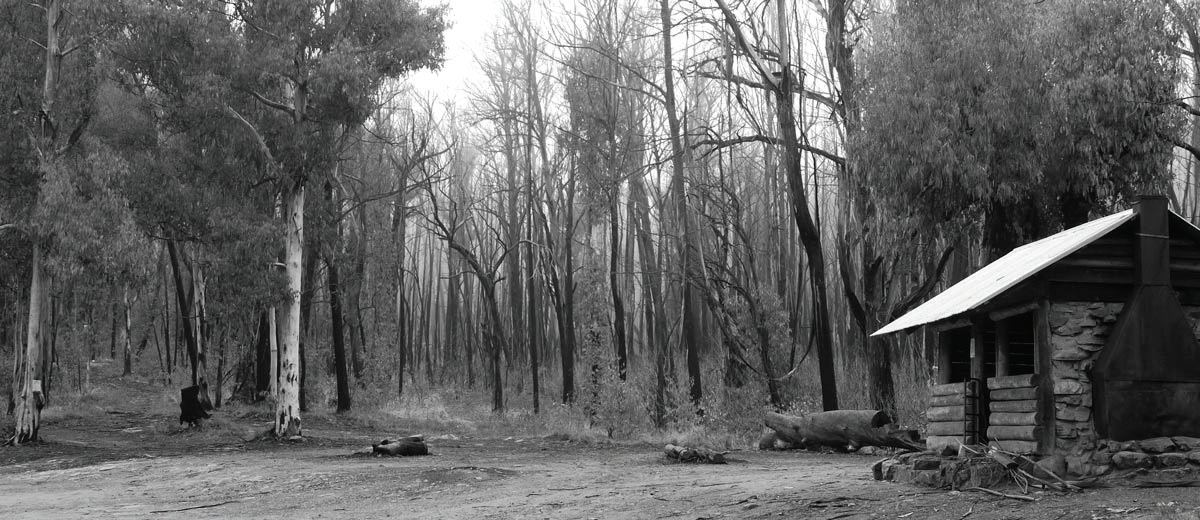
The snow in Victoria’s high country should almost be starting to melt, so now is the time to start planning your next adventure trip around the wonderful high country dirt tracks. If you plan it right, you might even catch the tail end of the snow, which will make some of these tracks slippery with mud. It all adds to the “adventure”.
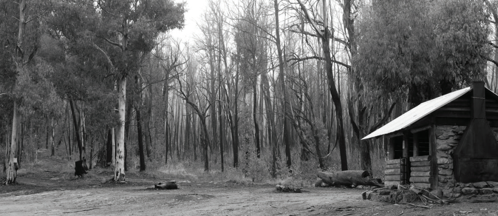
BRIGHT

Nestled between mountains, picturesque Bright is the place to base yourself for this ride. All services are available and if you want to treat yourself, there are plenty of high end places to stay and to eat.

Bright was first known as Morse’s Creek after F.H. Morse but it was renamed in honour of the British orator and politician John Bright in 1866. The main industry of the town nowadays is tourism, with much focus on the autumnal colours of the European trees planted all over the place. For adventure riders, there is the adventure film festival and our good friends at Touratech hold weekends of fun and adventure to enjoy there.

BEVERIDGES STATION

If you want to catch your own dinner, Buckland River runs alongside the station and has plenty of fish to catch.

WONNANGATTA STATION

Wonnangatta Station was a cattle station. According to writer Harry Stephenson the station, while it operated, was “the most isolated homestead in Victoria”. The Wonnangatta Station homestead was accidentally burnt down by bush walkers in 1957. Some stockyards and the old cemetery, which has been restored to something resembling its original form, survive. The station and surrounding area are the site of the still-unsolved Wonnangatta murders which occurred in late 1917 and 1918.

LAKE COBBLER HUT

There are many huts throughout the Mount Cobbler area, built by early graziers, privately for recreation or by the former Forestry and Lands Departments. The present Lake Cobbler Hut was built in 1986 by the Wangaratta 4WD Club. The original hut was built in the early 1900s as part of the Lovick grazing licence, followed by another built by Sam Christopher and Frank Gorman who had the Cobbler grazing licence from 1929 to the 1940s.

Enjoy a visit to the hut but do not rely on it for accommodation – take your camping gear. The last section of road into the Lake Cobbler Hut area provides dramatic glimpses of the Dandongadale Falls (Victoria’s longest falls with a 255m drop), tumbling off the Cobbler Plateau. Lake Cobbler itself is a small, artificial lake; it was created in the 1960s by damming a swamp area in the headwaters of the Dandongadale River.

BUCKLAND

Buckland was once a thriving gold mining township. It is estimated that over 1000 miners died back in 1853 as a result of typhoid disease, which spread through the diggings and all that’s left now is a ghost town. Maybe you’ll be able to have a ‘chat’ with some of the old miners?

Aborigines were once drawn to the area in summer by the large numbers of bogong moths which were seeking relief from the higher temperatures of the plains. After roasting them in strips of bark they ate the bodies or ground them into a paste. It is said the moths tasted like prawns (they don’t; they taste like moths – The Bear).

PINK ROUTE

The logical place to base yourself for this adventure is Bright. Head left or right out of Bright – fl ip a coin, but for this trip I headed left.

I must pre-warn you that some of this trip is pretty technical, especially if you’re traversing this route as the snow is starting to melt, as some of the roads will be mushy slush.

Head south on Morses Creek Road and veer right onto Nolan Creek Track, making a continual westerly course along Clear Creek Track until you get to Buckland Valley Road. Turn left and head south again, with this road turning into Selwyn Creek Road, which you need to follow until it turns into Tree Range Track and you get almost as far south as Mount Sarah Scenic Reserve. Head south-west along Spur Water Track making your way south to Hummffray River Shelter Hut. After a few kilometres head west again along Wonnangatta Track, past Wonnangatta Station and Wonnangatta Station Hut. Around ten kilometres are the hut you need to veer right to stay on Wonnangatta Track and head north, with this track turning into Harry Shephard Track, West Buffalo Track, Abbeyard Road, until you get to Camp Creek Track.

GREEN ROUTE (OPTIONAL)

As you reach this point you have the option to turn left onto Abbeyard-Lake Cobbler Track and head down to Lake Cobbler Hut, which is a scenic, relaxing spot.

PINK ROUTE

If you decide against the optional route, turn right onto Camp Creek Track, veering right (when you come to any other tracks off to the side) until you need to turn left onto Scotch mans Creek Track.

Basically you follow this all the way north through Buckland (an old town site) and back onto the bitumen, being Buck land Valley Road. About five kilometres out of Porepunkah, turn right onto Dingo Ridge Road and make your way back down into Bright. If you happen to take a wrong turn up in the logging mountains here, don’t stress, because you only really need to “follow your nose” back into Bright along one of the many tracks.

ROAD CONDITIONS

As many of these roads get covered with snow during Winter, it is paramount that you check the road conditions. Parks Victoria (http://parkweb.vic.gov.au/) is one to check with, as some roads have seasonal closures. You can also check with Vic Roads (http://traffi c.vicroads.vic.gov.au/).

CAMPING

There are many camping spots around this route if you wish to turn this into a two day ride. The two logical places would be Wonnangatta Station Hut or Lake Cobbler Hut. Again, check with Parks Victoria in case you need any permits to light a fire or to camp.

FUEL

There is no fuel along this route, other than in Bright.

Series Navigation<< TECHNICALUSED & REVIEWED >>
About the Author
Australian Motorcyclist Magazine is Australia's leading motorcycle travel magazine.
Page Scroller Supported By Bottom to Top