Previous Story
TRAVEL
Posted On 26 Jun 2024
Comment: Off

NORTH AND SOUTH OF SYDNEY TWO DAYS TO DIE FOR WORDS/PHOTOS THE BEAR
We don’t know how lucky we are to live in Australia – even in Sydney. There, I’ve said it. Well, written it. I know that just about every capital city in Australia has easier access to better bike roads than we do here in the Harbour City, but comparisons are odious or, as Shakespeare has it, odorous. The fact remains that we can jump on our bikes and spend a day on some wonderful roads, without much traffic and with not too many restrictions.
We can challenge ourselves and our bikes, or we can drift around enjoying the scenery and Mother Nature’s many delights; we can even find decent food and coffee.
You want me to back that up with real-life roads? No worries. Oh, and if you know these roads already (as many of you will) show this article to beginning riders, or those who are considering taking up motorcycling.
You’ll be doing your good deed for the day.
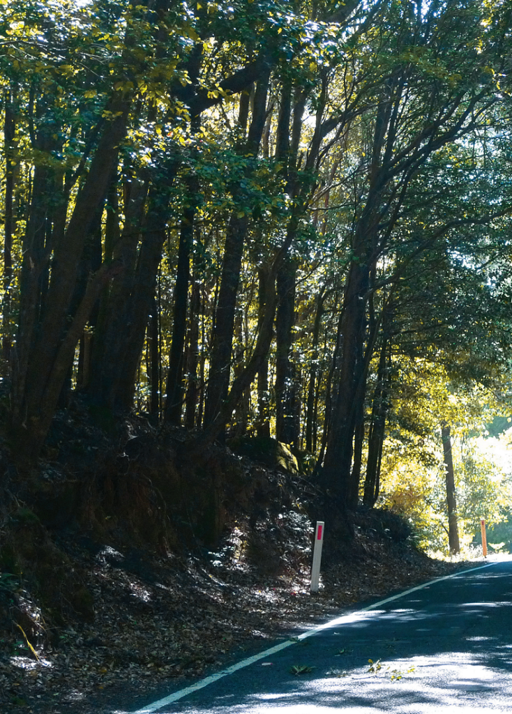
Jamberoo Road is worth a visit – or even two!
COFFEE CRAZY
Get yourself to the beginning of the Pacific Highway just south of Horns by.
Yes, this is freeway but I suspect that you’ll be tired of any other roads by now – no matter how close by you live.
Unfortunately, Sydney traffic really is odorous! Equally unfortunately there is nowhere much to meet around here – see below for the suggested meeting point if you’re riding with mates.
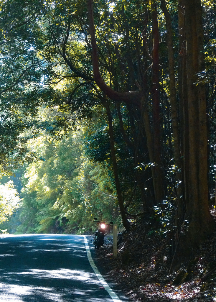
Enjoy the effortless ride as far as the Berowra exit, also known as the Windy banks Interchange, and join the Old Pacific Highway. Better known as just the Old Road, this was the highway before the freeway was built; a thought that’s almost impossible to believe now. At Easter and other holiday times this used to back up for a couple of hours or more. No matter what you think of freeways, this one has been a Good Thing.
There are a couple of servos on your left not long after you hit the Old Road, first a Shell and then a 7Eleven. They offer an opportune chance to top up your tank, and the 7Eleven is the most common meeting place for riders who are on their way north.
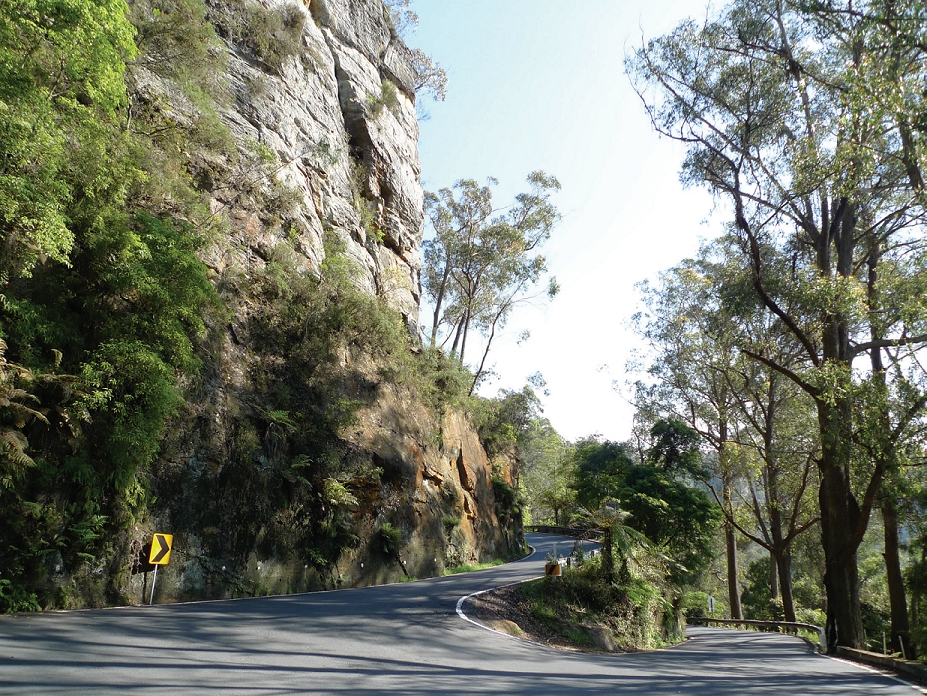
Everybody’s favourite hairpin on Macquarie Pass.
Take the “Pacific Hwy” not the “Pacific Mwy” track where the road divides, not far past those servos. Remember to keep more or less to the speed limit as you roll through Cowan; pedestrians are likely to be rambling across the road from the station, and this is a popular place for radar. Next up, after a couple of nice corners, is Pie in the Sky; a good stop for a coffee. Another nice set of corners takes you down to the river and the bridge over the Hawkesbury, and then you’re on the Old Road proper. It’s difficult to know what to say about this road. The speed limit is far too low, but the road does have a poor safety record.
Next stop, after a set of some more enjoyable corners – but watch out for bicyclists – is the Old Road Café, nee Road Warriors and any number of other names. Another coffee stop, as well as a bacon and egg roll stop.
Continue north to the Calga turnoff, which you want to take, and at Peats Ridge is the Tin Shed café, on the right.
More coffee! Yes! Turn left just out of the little township to Central Mangrove, and left again to Mangrove Mountain.
A less restricted and in some ways more enjoyable though occasionally bumpy road takes you down to the Hawkesbury River. More coffee and food stops at Spencer and Gunderman (where we will shortly be reviewing the Wombat Café) and then you’re at the Wise mans Ferry ferry, which takes you across to the pub, a servo and a small selection of cafés. The road back to Sydney starts with an inspiring left-hand hairpin going up the scarp and continues to be good fun until you hit the ‘burbs. You have the options of turning right at Maroota if you live in western Sydney, left at Middle Dural for the connection to Galston Gorge if you live in the north, or carrying on along the Old Northern Road if you’re from anywhere else.
Hornsby to Hornsby should be about three hours’ riding, for a total distance of some 170km. Not a long day, but a good one.
STILL LOTS OF COFFEE
It’s a little easier to nominate a meeting place if you and your mates are on the road south. The Maccas at Heath cote is opposite Heath cote Road and next to a servo, and just for once you’ll just have to drink the McCafé coffee. Or be the last to arrive, with everyone ready to head off.
You’ve missed the first entrance to National Park by meeting this far south, but that’s all right. Turn left at Waterfall instead and enjoy the excellent road that connects with the main park road over a concrete causeway, down in the valley. It’s only 5km down there, but it’s a fun road – except perhaps for occasional leaf litter.
Turn right and straight on through National Park now. A stop at Stan well Tops is always worth it, if only to check out any other bikes stopped there.
Then continue straight on, not down to Stan well Park, and turn left again to continue along the road south. I’d avoid the freeway, but it’s up to you. At the top of Mt Ousley, take a right and then a left to Mt Keira. There’s a kiosk on a spur road with a terrific lookout over Wollongong and Mt Kembla. At the bottom of the hill turn into the highway and then the freeway, which will take you south to the big roundabout just north of Illawarra Regional Airport.
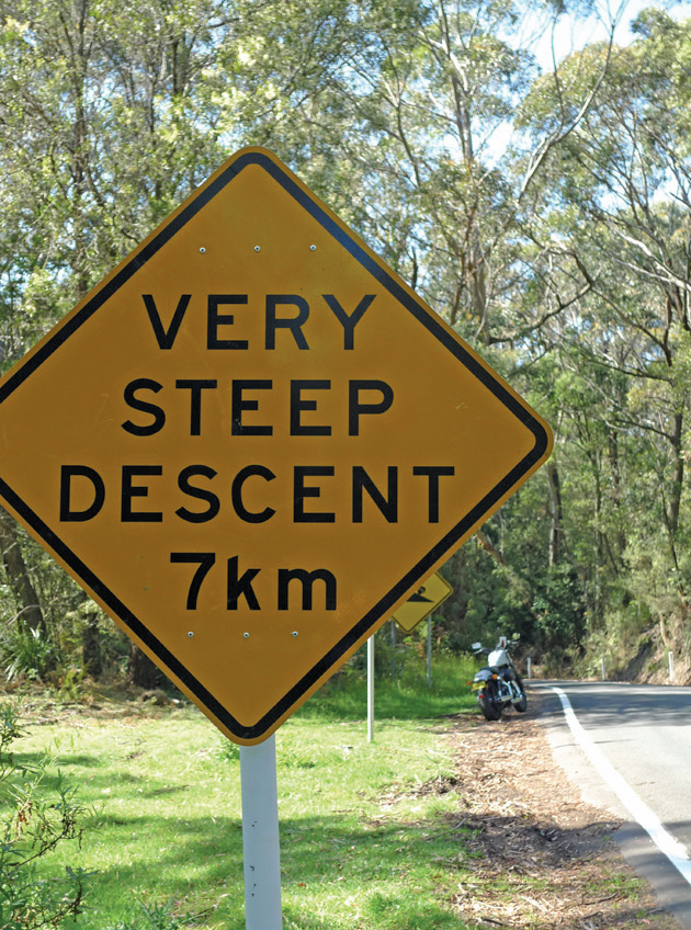
If you’re interested, there is a really good aircraft museum at the airport; just continue south and take the signposted entrance to the right. If you just want to ride, turn right at the roundabout instead and then right again to Robertson. This takes you up the always exciting and sometimes dangerous (when someone has spilt oil on it) Macquarie Pass. Robertson with its famous pie shop (the pies are not all that brilliant, but the atmosphere can be good) lies at the top.
Across the road from the pie shop is Jamberoo Road, which is narrow and dangerous and a lot of fun. I like it better than Macquarie Pass. At the bottom, turn right to Jamberoo and left in the township. A little way out of town you will cross Jerrara Creek.
Just after the bridge there is a road off to the right, also called Jerrara.
Take this up the hill until you reach a turnoff to the right, called Mt Brandon Road. Take this – the road climbs a very steep hill – and at the top there are scenic views across the Illawarra Plain.
Back down to Jerrara Road, and it takes you to Kiama by way of the Princes Highway underpass. Continue into Kiama until you see Collins Street on your left at a roundabout. There is a row of terraces on the eastern side of this street, the first of which is a pleasant little café which does nice light lunches. Failing that, Terralong Street (behind you now) has a pretty good fish ‘n’ chips joint.
When you’re finished, continue down Terra long Street and follow the signs until you merge with the Princes Highway. Ahead of you now are the much-tamed but still enjoyable Kiama Esses and a nice country run to Berry, with its bakery, sweets shops and cafés. Turn right here for Kangaroo Valley (more cafés) and continue up the scarp past Fitzroy Falls and on to Mittagong, where you join the Hume Highway. You can continue along the freeway to Liverpool, which I’ve set pretty much at random as the end of this ride (it is the other end of Heath cote Road) or turn off at Yanderra for Bargo (check out the train museum) and on to Picton and Razorback. This road will eventually take you into the Camden Bypass and, with a right turn at the end of that, over to the freeway. Liverpool awaits not far up the road.
Heath cote to Liverpool ought to take a bit four hours’ riding, with a total distance of something over 300km. It depends on how many side trips you take, really. You’ll have fun, whichever way you choose.